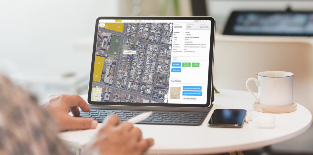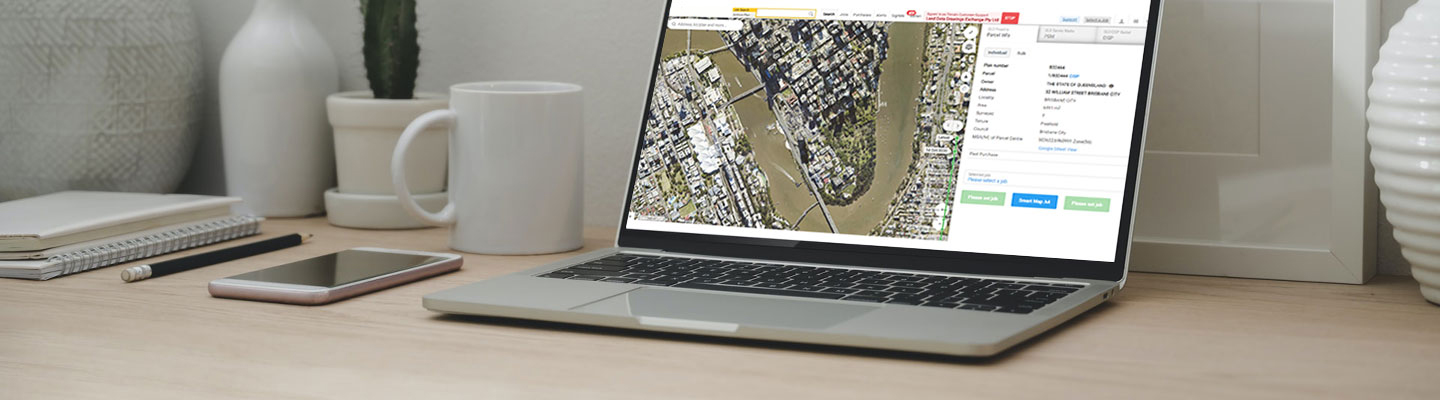
Dye & Durham Terrain clients are set to benefit from its latest integration with MetroMap, an aerial imagery data providing service, offering the highest-quality imagery to Australian property professionals, across various industries.
Accessible via Terrain’s market-leading map-based search platform, MetroMap will ensure Terrain clients have quick and easy access to high resolution and high precision imagery, whether its historical or current.
Executive General Manager of Terrain, Murray Walter commented:
“Access to high resolution imagery will allow Terrain clients to view their projects and assets clearly without leaving the office. They will be able to visualise the environment they are working in, saving them a significant amount of time and money and the historical content catalogues changes that have occurred to the site over time.”
Metromap has extensive coverage across Australia with updates for capital cities and surrounds occurring 4 times per year and other major towns 2 times per year. Details on coverage and updates are available at Metromap Coverage.
If you are an existing Terrain client, Metromap High Resolution Aerial Imagery is instantly available to add-on to your account for $65 per user/per month. You will receive a 7-day free trial, unlimited data usage, download imagery and no-lock in contract. To access this exclusive offer please call us on 1300 001 560 or email support@dyedurhamterrain.com.
If you would like to become a Terrain client then please call our team on 1300 001 560 or submit our online form to find out more information.