
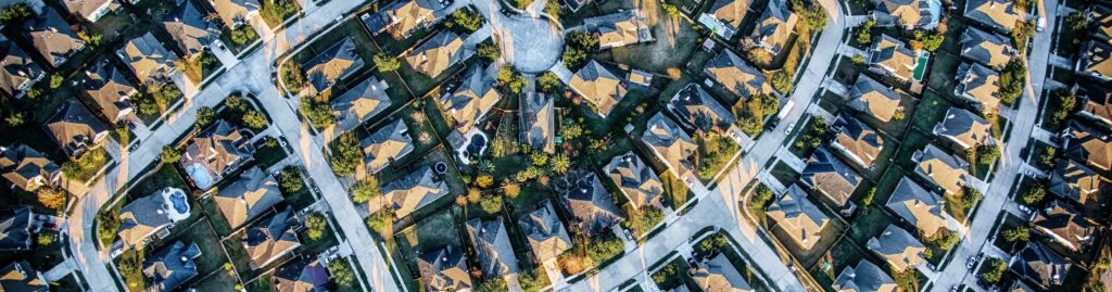
Dye & Durham Terrain Integrates Nearmap High-Resolution Aerial Imagery for Faster Property Planning
Dye & Durham has announced a new integration between its Terrain property data platform and Nearmap, a leading provider of high-resolution aerial imagery. The integration gives Terrain users seamless access to Nearmap’s up-to-date aerial imagery directly within their existing parcel, title and geospatial workflows. By combining property data with high-resolution aerial imagery, the integration enables faster […]
Dye & Durham Terrain Enhances Renewable Energy Project Planning with Renewmap Integration
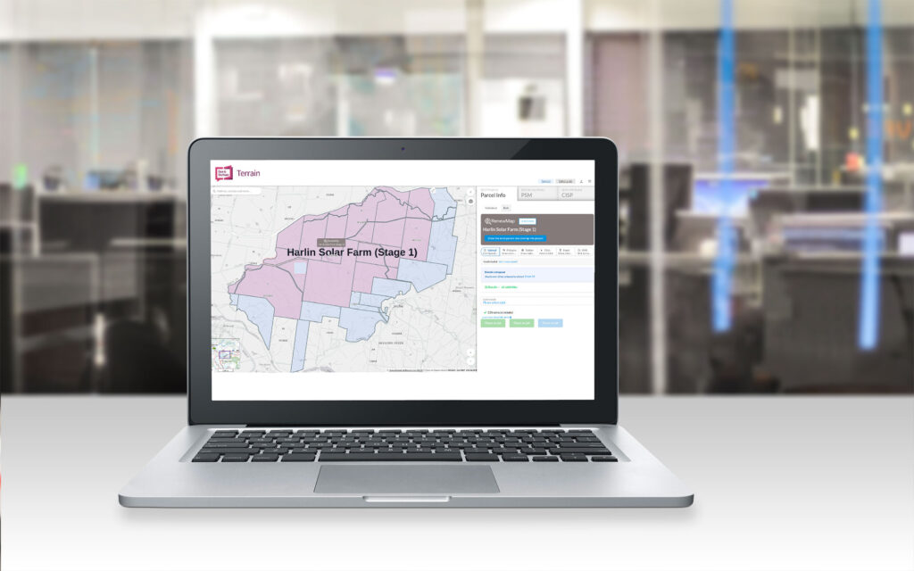
As the demand for renewable energy projects grows, Dye & Durham is pleased to announce that Terrain, the leading map-based search platform in the Property Planning Industry, now integrates with RenewMap, Australia’s premier platform for renewable energy project tracking. RenewMap is a SaaS platform which provides up to date information on more than 2,500 renewable energy projects around […]
South Australian Searching Now Live in Terrain
Dye & Durham Terrain now provides live access to South Australian property information searches. Expanding Terrain’s coverage into South Australia enables customer to access Land Services SA services using our market leading map-based search capability and workflow solutions including bulk title searches. Executive General Manager of Dye & Durham Terrain, Murray Walter commented: “Terrain continues […]
GlobalX Terrain is changing to Dye & Durham Terrain

GlobalX Terrain is excited to announce that on the 1st May we will be rebranding to Dye & Durham Terrain. Last year GlobalX Terrain joined with Dye & Durham the worlds leading supplier of cloud-based software and technology solutions for the legal and property industries. In Australia, Dye & Durham was created with the merging […]
Gold Sponsor At 2022 ISNSW Annual Conference

GlobalX Terrain is proud to partner with The Institution of Surveyors NSW (ISNSW) as Gold Sponsor of the 2022 Annual Surveyors Conference. The ISNSW Conference is a unique opportunity to network and meet surveyors in the profession. The event also provides tips on best practices, insights and contacts that are essential to help grow your […]
Instant Access To Digital Plans

In an industry first, Australian surveying and planning professionals will now be able to access Digital Plans via GlobalX Terrain’s online property information platform. The GlobalX Terrain platform will provide professionals with instant access to over 600,000 registered plans in New South Wales. When a plan image is ordered through the online platform, clients will […]
Launch Of High-Resolution Aerial Imagery

Dye & Durham Terrain clients are set to benefit from its latest integration with MetroMap, an aerial imagery data providing service, offering the highest-quality imagery to Australian property professionals, across various industries. Accessible via Terrain’s market-leading map-based search platform, MetroMap will ensure Terrain clients have quick and easy access to high resolution and high precision […]
